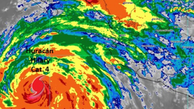
Hurricane Hilary has experienced an increase in intensity as it moves parallel to the Mexican Pacific coast, and there is a possibility that it will impact the state of California.
The Center of Hurricane Hilary and its Imminent Path
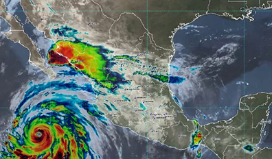
The core of Hurricane Hilary is approaching the southern tip of the Baja California peninsula, projecting its arrival by the end of this weekend.
Cabo San Lucas Alerts and Necessary Precautions
In Cabo San Lucas, a prominent tourist enclave in Baja California, authorities are monitoring the evolution of the hurricane. Mexico’s National Meteorological Service has urged “tourists and boaters to maintain maximum caution due to rough surf.” A live camera shows coastal monitoring in the region.

Forecast of Heavy Rains and Possible Flooding
The forecast of the National Hurricane Center of the United States (NHC) warns that Hilary could trigger accumulations of precipitation between 30 and 152 millimeters, with isolated areas prone to receive up to 203 millimeters. These rains could generate flash flooding in parts of the Baja California peninsula until the beginning of next week.
Trajectory and Predicted Weakening
Hilary’s direction will take her north, near or over the Baja California peninsula next Sunday, albeit in considerably weakened storm condition.
Potential Impact on California and Historical Analysis
If Hilary makes landfall in California, which is uncertain, it would become the first tropical storm to do so in 84 years, only the third recorded storm of this magnitude to do so. National Oceanic and Atmospheric Administration (NOAA) records reveal that the last time was in 1939 with an unnamed tropical storm, while the only hurricane arrival in California was the San Diego hurricane in 1858.
Future Expectations for Hilary
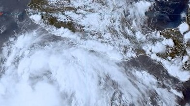
The current outlook suggests Hilary could weaken to a tropical storm before approaching the Baja California peninsula and southern California early next week. However, uncertainty remains as to whether it will make landfall directly in California or enter through Mexico before crossing into California.
How do hurricanes form?
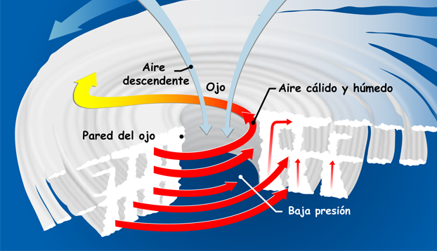
Hurricanes form over warm waters, when warm, moist air rises, creating areas of low pressure. The surrounding air is sucked into this region, causing winds that rotate counterclockwise in the Northern Hemisphere.
As warm air rises, it cools and condenses into clouds. The release of heat during condensation reinforces the process, creating a positive feedback loop. This creates a storm structure with a central eye of low pressure and outer bands of strong winds and rainfall.
What does a Category 4 Hurricane look like?
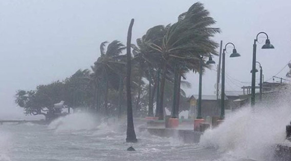
A Category 4 hurricane is an extremely dangerous storm. Its sustained winds range from 130 to 156 mph (209-251 km/h). It causes catastrophic damage: fallen trees, power disruption and widespread destruction in inhabited areas. Evacuations are critical to protecting lives and property.
Impact and Preparedness
These hurricanes generate storm surges that flood coastal areas and cause flooding. Planning and response are essential. Governments monitor storms, issue warnings and establish shelters. Public education on preparedness and evacuation is vital to minimize risks and protect communities.
For more articles like this, click here.


